
Climate & Cities
Wildfire reaches a city through its gardens, not its forests
Fire at the edge of a built area usually spreads through fences, hedges, decking and stored fuel rather than by a wall of flame.
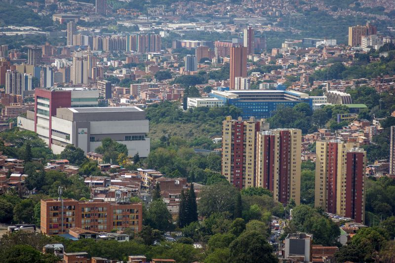
The theory of the wildland urban interface is well covered elsewhere. This is about the version you meet in practice.
What holds up in practice
- Most structures ignite from embers rather than direct flame contact.
- The first few metres around a building matter more than the wider landscape.
- Continuous fuel between properties allows fire to move through a settlement.
Embers travel further than flames
Wind carries burning fragments well ahead of a fire front, and these land on roofs, in gutters and against walls. Where they find dry material such as leaf litter, stored timber or a mat, they can start an ignition long before any flame arrives. This is why houses are lost in settlements that the main fire front never reached in the form people imagine.
It also means defending a settlement is partly about surfaces and openings rather than only about clearing vegetation at the boundary. Understanding ember behaviour changes what preparation looks like, moving it from the treeline towards the building itself.
The first metres around a structure carry the risk
Fire researchers consistently emphasise the zone immediately adjacent to a building as the most influential for whether it survives. Materials stored against a wall, timber decking, dense shrubs beneath windows and wooden fences attached to the building all provide a route in.
In practice, replacing a fence panel adjoining the house with a non-combustible section interrupts a continuous fuel path at very low cost. Keeping that zone clear of stored fuel is a maintenance behaviour rather than a construction measure, which makes it both cheap and easily neglected. These measures are within the control of an individual owner, which is unusual in climate adaptation.
Openings and roofs decide ember entry
Embers enter buildings through vents, gaps under roof tiles, open eaves and window openings, and once inside they ignite contents directly. Fine mesh screening of vents is a standard and inexpensive measure that prevents a large proportion of ember entry.
On the ground, gutters that accumulate leaf litter provide a fuel bed directly against the roof edge, which is why clearing them is emphasised repeatedly. Glazing can fail under radiant heat, which then admits embers even where the opening was closed. Building standards in fire-prone regions increasingly specify these details, and existing buildings predate all of them.
Settlement layout matters as much as building design
Where properties are close and fuel is continuous between them, fire moves from structure to structure independently of the surrounding landscape. A single ignited outbuilding can therefore threaten a row, which is the mechanism behind losses in dense settlements at the edge. Breaks in that continuity, through spacing, non-combustible boundaries and managed ground, slow the progression.
Access for firefighting vehicles and a second evacuation route are layout properties that cannot be retrofitted easily.
Development at the edge of fire-prone landscapes therefore raises planning questions that are difficult to address afterwards.
Vegetation management is contested
Clearing vegetation reduces available fuel and it also removes shade, habitat and the character that drew people to the location. Blanket clearance can increase fine fuel by encouraging grass growth, which dries faster than the vegetation it replaced. Species selection matters, since some plants carry fire readily and others resist it, and local guidance varies considerably.
Practices such as prescribed burning are used in some regions and are contested on smoke, ecology and risk grounds. The honest position is that this is an active area of research and practice where regional conditions dominate any general rule.
Comparisons across cities are difficult because nobody counts the same things.
What a household and a city can each do
Individually, clear the immediate zone, screen vents, maintain gutters and remove combustible material attached to the building. Collectively, a street where every property has done this is far more defensible than one where a few have.
In practice, cities can require standards for new building at the interface, maintain access routes and plan evacuation in advance rather than during an event. Warning systems and clear communication about when to leave save more lives than any construction measure. Anyone in a fire-prone area should follow local fire service guidance, which reflects conditions that no general article can capture.
The takeaway
Look at the first metres around the building. That is where most of the outcome is decided.
Cities are built by a thousand small permissions, not one big plan.
Questions readers ask
Do houses burn because flames reach them?
Often not directly. Wind-blown embers landing on roofs, in gutters and against walls are a major cause, which is why the immediate zone around a building matters so much.
Does clearing all vegetation make a property safe?
It reduces fuel and can encourage fast-drying grass, and it removes shade and habitat. Local fire service guidance on species and spacing is more useful than blanket clearance.


